|
Forecast
Radar
Pittsburgh Radar Status
Alternate Radar
Satellite
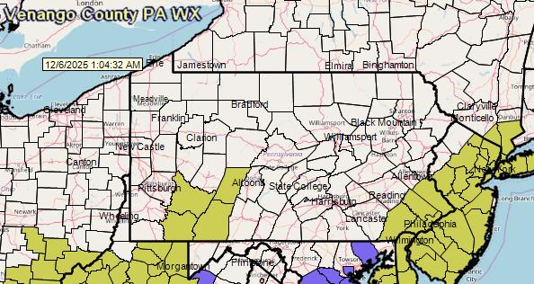
Hazards Map (Local)
Hazards Map (U.S.)
Area Forecast Discussion
Warnings
Special Weather Statements
Hazardous Weather Outlook
Public Information Statement
Air Quality
Space Weather
Convective Outlooks:
Day 1
Day 2
Day 3
Days 4-8
Great Lakes Water Levels
Flood Potential Outlook
Daily Hydrometeorological Data Summary
Hydrologic Statement
Hydrologic Summary
Area Rainfall Report
Quantitive Precipitation Forecast Discussion
Rain Outlook
Excessive Rain Outlook
Exessive Rainfall Discussion
U.S. River Flood Outlook Map
Surface Analysis Maps
Local Storm Reports (All NWS Pittsburgh areas)
Fire Weather Outlook
Mesoscale Discussions - All States
Ultraviolet Index Map
Child Amber Alerts - All States
|
Forecast for Venango County
 <>
<> <>
<>
|

https://s.w-x.co/staticmaps/wu/wxtype/none/usa/animate.png

Click on an image for larger view. |
|